INFRASTRUCTURE AND SUPERSTRUCTURE

The infrastructure of the port is controlled by the Massawa Port Authority and is defined as all water areas within the published port limits, all lands and quays including, in the port, the berth foundations and face and the port pavement. Underground structures including pipes cables and cranes rail supports are considered to be part of the port infrastructure.

The superstructure of the port is controlled by the Port Management and includes all buildings and fittings plus all equipment and facilities necessary for the efficient operation of the port as a commercial entity.

Port Area

Description
Area [M²]
Apron Area
42,510.50
Asphalted Container Yard Area
74,426.23
Non-Asphalted Container Yard Area
84,579.53
Building Area
26,249.34
Asphalted Area
8,000.00
Non-Asphalted Area
35,521.13
Total Port Area
271,287.00

Accommodation

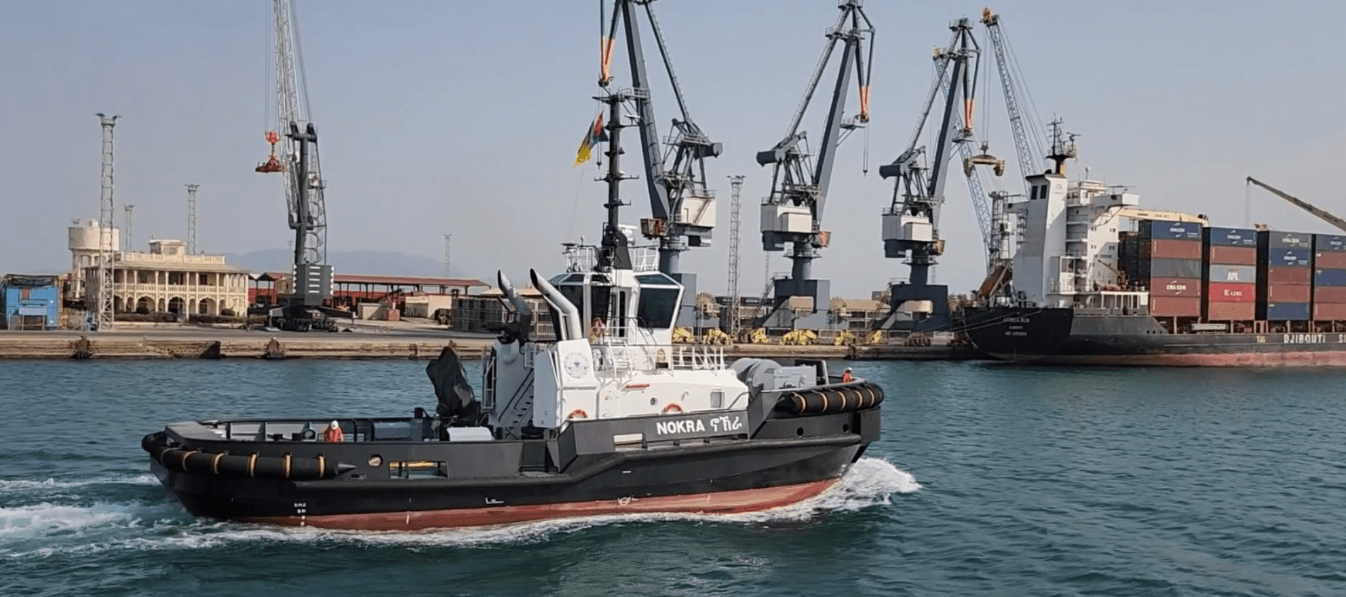
There are six berths at the commercial harbour and the overall distance from berth No.1 to berth No.6 is 1,007m. These berths are normally used by ocean going vessels handling bulk cargo, general cargo, Container, and RO/RO goods.

The berth all together can accommodate about 6-7 ships at a time. The port can also accommodate ships with 11.8 meters draft and 225 meters long. Berths are equipped with underground water, electric and telephone supply networks to facilitate ships calling the port.

Commercial Harbour

Berth 1

Length: 176 M
Depth: 4.9 M
Purpose: Conventional

Berth 2

Length: 150 M
Depth: 7.4 M
Purpose: Ro/Ro

Berth 3

Length: 137 M
Depth: 8.7 M
Purpose: Ro/Ro

Berth 4

Length: 137 M
Depth: 8.0 M
Purpose: Conventional

Berth 5

Length: 186 M
Depth: 8.5 M
Purpose: Container

Berth 6

Length: 208 M
Depth: 12.0 M
Purpose: Container

Oil Harbour ( Tanker Terminals)

Hirgigo Oil Station

LOA - 190 M
BEAM - ANY
DRAFT - 8.5 M

Mobil - Total

LOA - 185 M
BEAM - ANY
DRAFT - 9.1 M

Working Areas